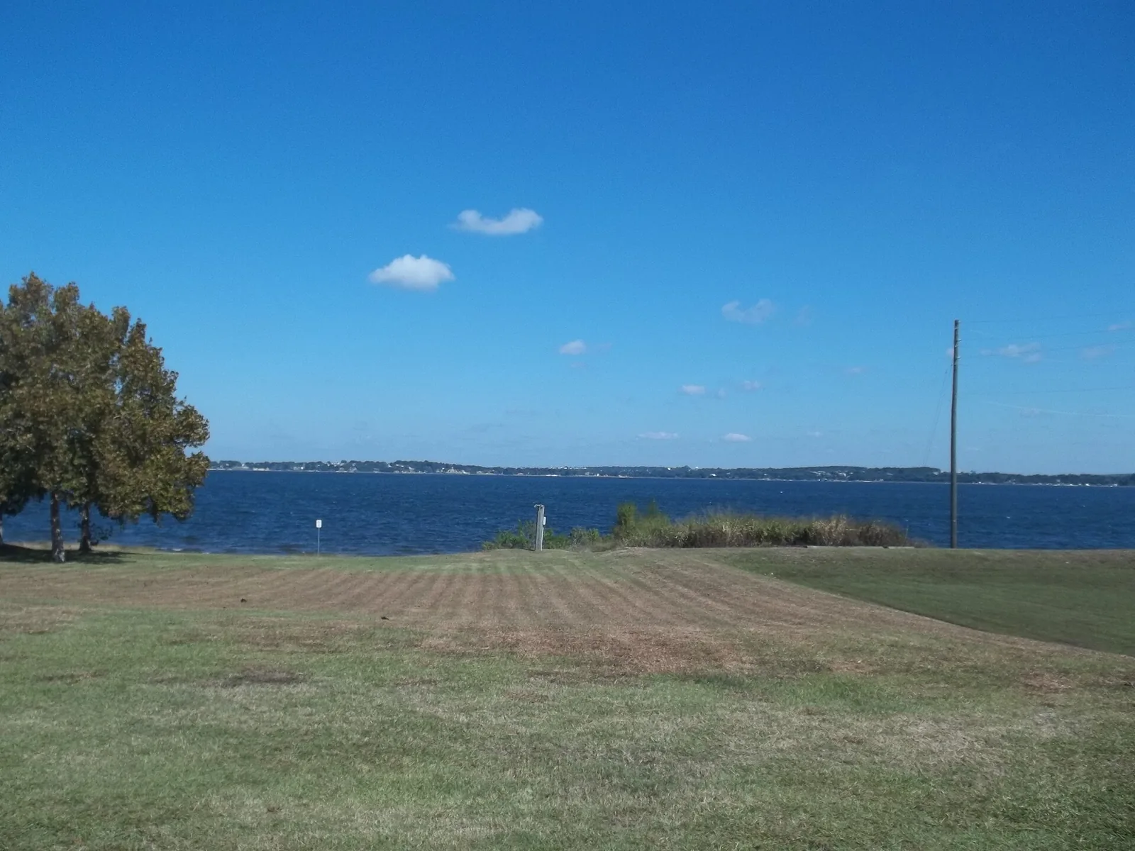
Clermont's Northwest Quadrant, around downtown and Lake Minneola, is in ZIP 34711 and zoned for South Lake High. Zillow: $428,094 in August 2026.
Last checked Oct. 8, 2026. Sources: the City of Clermont’s 2026 draft comprehensive plan (PDF) and parks page, Lake County’s city limits, plat and address data and street centerlines, Lake County Schools’ 2025 attendance zone layer, the Florida Department of Education’s 2026 school grades, Zillow Research and OpenStreetMap.
The City of Clermont’s 2026 draft comprehensive plan divides the city into four quadrants along its two highways, U.S. 27 running north and south and State Road 50 running east and west. The Northwest Quadrant is everything inside the city limits north of State Road 50 and west of U.S. 27, along the south shore of Lake Minneola. It holds the historic downtown; the plan says the city’s growth since 2000 “expanded well beyond the historic core into the city’s other three quadrants.” It names “portions of the Northwest Quadrant” among the places with “the greatest capacity for change.”
What this means for you
- Zoned high school: South Lake High for every address on this page, a B school in Florida’s 2026 grades. Elementary and middle school is Aurelia M. Cole Academy, K-8, a B.
- Home value: $428,094 in ZIP 34711 in August 2026, according to the Zillow Home Value Index.
- Nearest Turnpike exit: exit 278, Minneola and North Hancock Road, about 5 miles by road.
Part of our Clermont neighborhoods guide.
Where it is
The quadrant runs from the city’s western limits east to U.S. 27, and from State Road 50 north to Lake Minneola. Downtown, the city’s Downtown Mixed Use land between 12th Street and West Avenue, has its own page, and so does Clermont Heights, which straddles State Road 50. The figures on this page cover the rest: 2,202 Lake County address points, all inside the city.
ZIP code: 34711 for every address.
Lincoln Park sits in this quadrant, around McKinley Park, along Bloxam Avenue and School and Scott streets between Juniata and DeSoto streets. Lake County’s plat records show the Lincoln Park subdivision recorded in 1927 and the Lincoln Park Annex in 1939. The draft plan calls it a “historic neighborhood” and makes it one of 10 opportunity sites, with studies for duplexes, townhouses and small apartment buildings, a new community center and more park space on an undeveloped parcel the School Board owns.
Schools
How the area’s address points fall in Lake County Schools’ 2025 attendance zone layer, with each school’s 2026 grade from the Florida Department of Education.
| Level | School | Share of addresses | 2026 grade |
|---|---|---|---|
| Elementary and middle (K-8) | Aurelia M. Cole Academy, 301 East Ave. (report card) | 100% | B (64%) |
| High | South Lake High, 15600 Silver Eagle Road, Groveland (report card) | 100% | B (62%) |
Cypress Ridge Elementary, 350 East Ave., is also in this quadrant and earned an A in 2026, but the district’s 2025 layer draws no attendance zone for it. Ask Lake County Schools, 352-253-6500, how a child can attend. More in our schools guide.
Home values
The typical home value in ZIP 34711 was $428,094 in August 2026, down 2.1% from $437,375 in August 2025, according to the Zillow Home Value Index. The index is a modeled typical value for the middle third of homes, not a sale price, and it covers most of the city, not this quadrant alone. The citywide figure was $428,604, down 2.3% on the year. More in our home prices guide.
Parks and trails
The city says Waterfront Park is one of its three most widely used parks. From Lake County’s parks layer, inside the quadrant:
- Waterfront Park, 100 Third St., on Lake Minneola.
- Fourth Street Pier, 481 Fourth St.
- McKinley Park, 801 Bloxam Ave., in Lincoln Park.
- Bishop Field, 950 East Ave.
- Edgewood Place Park, at North Street and Overlook Drive.
The paved Clermont/Minneola Trail runs 5.2 miles along Lake Minneola from West Beach and links to the West Orange Trail. More in our parks and trails guide.
Getting around
- Turnpike: exit 278, Minneola and North Hancock Road, about 5 miles by road; exit 272, State Road 50, about 7.4 miles.
- City Hall: about 1 mile.
- Airport: about 34.5 miles to Orlando International Airport.
- These are distances measured on the OpenStreetMap road network with the OSRM routing engine from the middle address point, not drive times.
- Bus: LakeXpress Route 50 West stops on State Road 50 at East Avenue, about 0.7 mile by road, with more stops along the highway. Buses run weekdays only.
More in our getting around guide.
Homeowners’ associations
None of the sources above names a homeowners’ association here. The draft plan places most of the city’s association-governed subdivisions in the Northeast and Southeast quadrants. Ask for a property’s governing documents before you buy.
Groceries and everyday stores
From OpenStreetMap, inside the quadrant or close to its edge, with distance by road:
- Winn-Dixie, 682 E. Highway 50, about 0.9 mile
- Walgreens, State Road 50 near Bloxam Avenue, about 1 mile
- Publix, 250 Citrus Tower Blvd., across U.S. 27, about 1.3 miles
How we drew this area
The quadrant lines follow U.S. 27 and State Road 50 as drawn in Lake County’s street centerlines, inside the city limits Lake County publishes. Downtown and Clermont Heights are taken out. Address counts, ZIP codes and school shares come from Lake County address points, matched to Lake County Schools’ 2025 grade-level attendance layer on Oct. 8, 2026. Store locations and road distances use © OpenStreetMap contributors.
Frequently asked questions
What is the Northwest Quadrant in Clermont?
The part of the city north of State Road 50 and west of U.S. 27, as the city’s 2026 draft comprehensive plan divides Clermont. It holds the historic downtown, the Lake Minneola waterfront and the Lincoln Park neighborhood.
What schools serve northwest Clermont?
In Lake County Schools’ 2025 attendance zone layer, every address on this page is zoned for Aurelia M. Cole Academy, a K-8 school, and South Lake High. Both earned a B in Florida’s 2026 grades.
Where is Lincoln Park in Clermont?
Around McKinley Park, 801 Bloxam Ave., east of downtown. Lake County’s plat records show the Lincoln Park subdivision recorded in 1927 and the Lincoln Park Annex in 1939. The city’s draft plan calls it a historic neighborhood.
Is northwest Clermont a good place to live?
Here are the facts. The area has Waterfront Park, the Fourth Street Pier and McKinley Park, is zoned for Aurelia M. Cole Academy and South Lake High, both B schools in 2026, and is about a mile by road from City Hall. The typical home value in ZIP 34711 was $428,094 in August 2026, according to Zillow.
Have your say