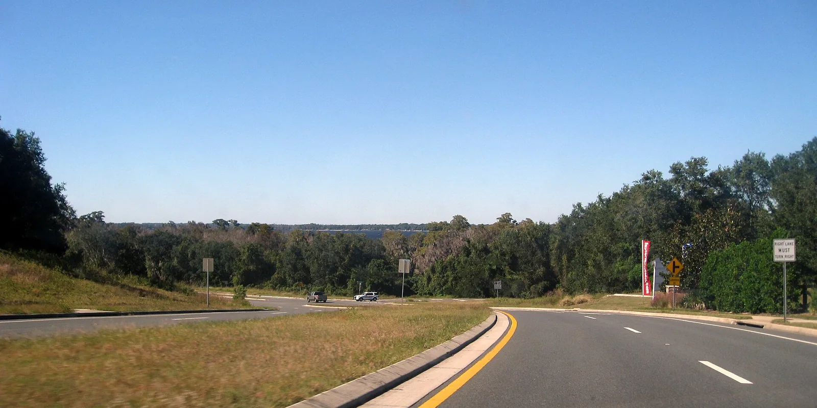
Clermont's Southwest Quadrant, around Lake Minnehaha and the ARC, is in ZIP 34711; 82% of addresses are zoned for East Ridge High, an A school.
Last checked Oct. 8, 2026. Sources: the City of Clermont’s 2026 draft comprehensive plan (PDF) and parks page, Lake County’s city limits, plat and address data and street centerlines, Lake County Schools’ 2025 attendance zone layer, the Florida Department of Education’s 2026 school grades, Zillow Research and OpenStreetMap.
The Southwest Quadrant is the part of Clermont south of State Road 50 and west of U.S. 27, one of four quadrants in the city’s 2026 draft comprehensive plan. It runs from the older streets just south of downtown, around Center Lake and Lake Minnehaha, down U.S. 27 past the Clermont Arts and Recreation Center and the Legends subdivisions. The plan calls the quadrant “Clermont’s newest and most transformative growth area” and places the Wellness Way district at its southern end; most of the city’s Wellness Way land lies east of U.S. 27, and it has its own page.
What this means for you
- Zoned high school: East Ridge High for 82% of addresses, an A school in Florida’s 2026 grades, and South Lake High, a B, for 18%. Check yours.
- Home value: $428,094 in ZIP 34711 in August 2026, according to the Zillow Home Value Index.
- Nearest Turnpike exit: exit 278, Minneola and North Hancock Road, about 6.2 miles by road.
Part of our Clermont neighborhoods guide.
Where it is
The quadrant covers city land west of U.S. 27 and south of State Road 50, down to the city’s southern limits along U.S. 27. Clermont Heights, on both sides of State Road 50 east of downtown, has its own page. The figures on this page cover the rest: 3,559 Lake County address points, all inside the city. Lake County’s plat records name the Lakeview Hills subdivision, in three phases, and the Legends at Golf Course subdivisions here.
ZIP code: 34711 for every address.
The draft plan names one “opportunity site” here: a mixed-use village along U.S. 27 that “builds upon the existing Arts and Recreation complex,” aimed at older residents, with shops in walking distance and a new theater near U.S. 27 for a local playhouse that asked for a bigger stage. It is a proposal in a draft under public review on the city’s comprehensive plan update page.
Schools
How the quadrant’s address points fall in Lake County Schools’ 2025 attendance zone layer, with each school’s 2026 grade from the Florida Department of Education.
| Level | School | Share of addresses | 2026 grade |
|---|---|---|---|
| Elementary and middle (K-8) | Aurelia M. Cole Academy, 301 East Ave. (report card) | 44% | B (64%) |
| Elementary | Lost Lake Elementary, 1901 Johns Lake Road (report card) | 42% | A (65%) |
| Elementary | Pine Ridge Elementary, 10245 County Road 561 (report card) | 14% | A (65%) |
| Middle | East Ridge Middle, 13201 Excalibur Road (report card) | 56% | A (72%) |
| High | East Ridge High, 13322 Excalibur Road (report card) | 82% | A (67%) |
| High | South Lake High, 15600 Silver Eagle Road, Groveland (report card) | 18% | B (62%) |
Students zoned for Aurelia M. Cole Academy stay there through eighth grade. With three elementary and two high school zones in the quadrant, check an address with Lake County Schools, 352-253-6500, before you enroll. More in our schools guide.
Home values
The typical home value in ZIP 34711 was $428,094 in August 2026, down 2.1% from $437,375 in August 2025, according to the Zillow Home Value Index. The index is a modeled typical value for the middle third of homes, not a sale price, and it covers most of the city, not this quadrant alone. The citywide figure was $428,604, down 2.3% on the year. More in our home prices guide.
Parks and trails
The city counts Palatlakaha Park among its three most widely used parks. From Lake County’s parks layer, inside the quadrant:
- Palatlakaha Park, 1250 12th St.
- Kiwanis Park, 982 Minnehaha Ave.
- Seminole Park, 1201 Seminole St.
- Center Lake Park, at State Road 50 and Eighth Street.
- Park of Indian Hills, at 12th Street and Lakeshore Drive.
- Chestnut Park, at Holly and Ryan streets.
- Lakeview Hills Park, at Ridge Avenue and Brogden Street; the city says it has a fitness trail inside the Lakeview Hills subdivision.
The Clermont Arts and Recreation Center, 3700 S. U.S. 27, has walking trails, the city says. The Lake County Water Authority’s Crooked River Preserve, 11121 Lake Louisa Road, is just outside the quadrant. More in our parks and trails guide.
Getting around
- Turnpike: exit 278, Minneola and North Hancock Road, about 6.2 miles by road; exit 272, State Road 50, about 7.1 miles.
- City Hall: about 2.3 miles.
- Airport: about 34.3 miles to Orlando International Airport.
- These are distances measured on the OpenStreetMap road network with the OSRM routing engine from the middle address point, not drive times.
- Bus: the Clermont Park & Ride at U.S. 27 and Johns Lake Road, where LakeXpress Routes 50 East and 50 West start, is about 1 mile by road. A Route 50 stop on U.S. 27 at Custer Oak Drive is about 0.5 mile. Buses run weekdays only.
More in our getting around guide.
Homeowners’ associations
None of the sources above names a homeowners’ association for a specific street here. Ask for a property’s governing documents before you buy.
Groceries and everyday stores
From OpenStreetMap, close to the middle of the quadrant, with distance by road:
- Walgreens, State Road 50 near Bloxam Avenue, about 0.8 mile
- Aldi, 2503 S. U.S. 27, about 0.9 mile
- Winn-Dixie, 682 E. Highway 50, about 1 mile
- Walmart Supercenter, 1450 Johns Lake Road, about 1.4 miles
How we drew this area
The quadrant lines follow U.S. 27 and State Road 50 as drawn in Lake County’s street centerlines, inside the city limits Lake County publishes. Clermont Heights is taken out. Address counts, ZIP codes and school shares come from Lake County address points, matched to Lake County Schools’ 2025 grade-level attendance layer on Oct. 8, 2026. A few addresses in a zone the layer labels “East Middle” are counted as East Ridge Middle. Store locations and road distances use © OpenStreetMap contributors.
Frequently asked questions
What high school serves southwest Clermont?
It depends on the address. In Lake County Schools’ 2025 attendance zone layer, 82% of the quadrant’s addresses are zoned for East Ridge High, an A school in 2026, and 18% for South Lake High, a B school.
What is the Southwest Quadrant in Clermont?
The part of the city south of State Road 50 and west of U.S. 27, as the city’s 2026 draft comprehensive plan divides Clermont. It takes in Lake Minnehaha, Palatlakaha Park and the Clermont Arts and Recreation Center on U.S. 27.
Where is the Clermont Arts and Recreation Center?
At 3700 S. U.S. 27, in the Southwest Quadrant. The city’s draft plan proposes a mixed-use village around it with a new theater.
Is southwest Clermont a good place to live?
Here are the facts. The quadrant has Palatlakaha Park, Kiwanis Park, Seminole Park and Lakeview Hills Park, is mostly zoned for East Ridge High, an A school in 2026, and is about 2.3 miles by road from City Hall. The typical home value in ZIP 34711 was $428,094 in August 2026, according to Zillow.
Have your say